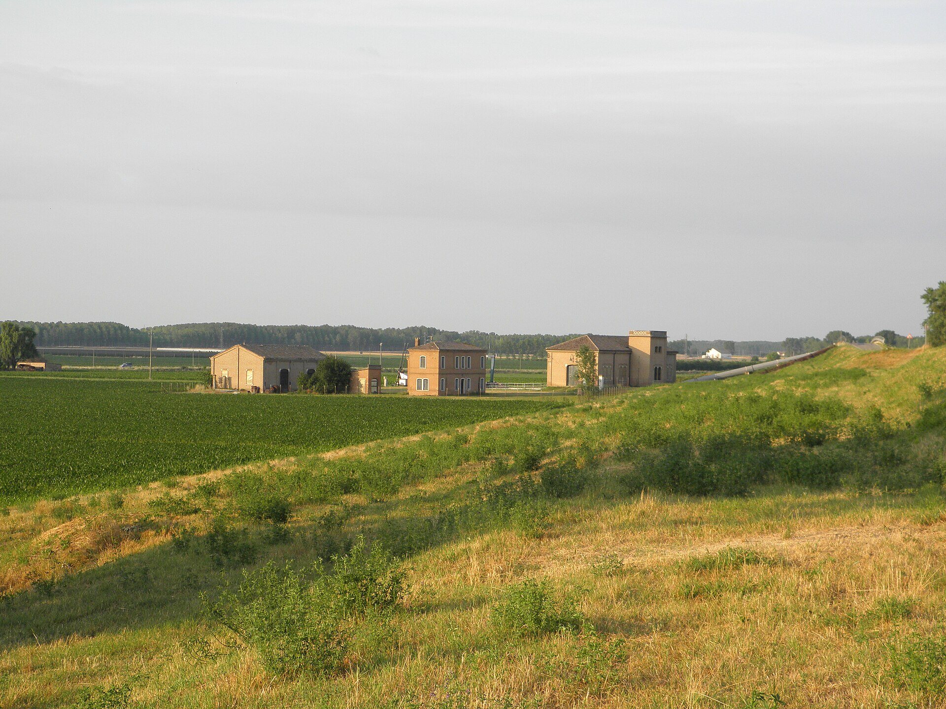
Fields and embankment by the Ca' Verzola auxiliary pumping station at San Basilio, Ariano nel Polesine
Idrovora ausiliaria Ca' Verzola (San Basilio, Ariano nel Polesine) · Threecharlie · CC BY-SA 3.0 · Wikimedia Commons
Did you know?
Did you know?

Fields below sea level

In the lower Polesine the land has sunk by metres in just a few decades

Period
1938-1963 (extraction), with effects to the present day

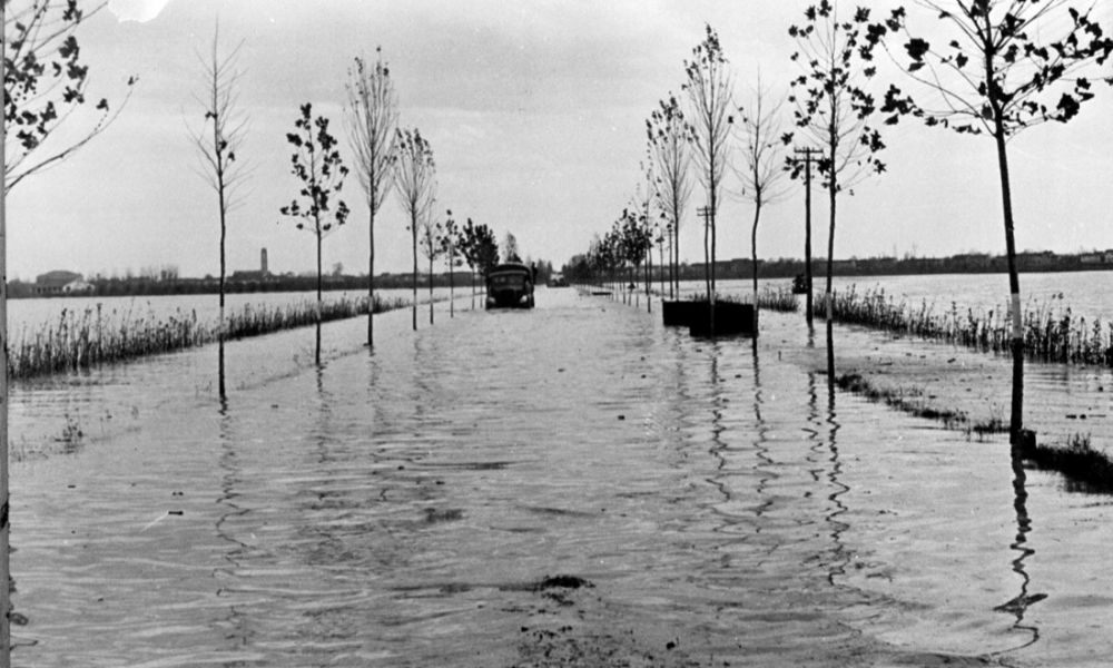
In the lower Polesine people farm, drive and live below the sea. According to the Consorzio di bonifica Delta del Po, at Mea, in Porto Viro, and in the Ex Valli of Porto Tolle the ground lies 3-3.5 metres below mean sea level.

It was not always so. What made the ground sink was above all subsidence linked to the extraction of methane-bearing water, between the late 1930s and the early 1960s: in the worst spots the ground dropped by as much as 20 centimetres a year. And the phenomenon has not entirely stopped: in those areas, between 1983 and 2008, the ground sank another 50 centimetres.

Today these lands stay dry thanks to an unbroken network of embankments, canals and pumping stations. Along the roads of the Delta, the fields lying below the horizon tell this story.

SourcesSources checked

  1. Altimetria Consorzio — Consorzio di Bonifica Delta del Po
  2. Escursione sul Delta del Po (guida geologica, con dati da Bondesan, Dal Cin, Caputo et al.) — Regione Emilia-Romagna, Servizio geologico
  3. «Tornerebbe la palude»: i Consorzi di bonifica veneti tra storia orale e storia ambientale (Proposte e ricerche, n. 78, 2017) — Università di Padova (E. Novello)

This page is based on the sources listed here. Have a correction or a document to share? Write to the editors. redazione@rovigosegreta.it